What is included
- Operation subject to current UK drone rules
- Pre-flight airspace and site checks
- Exterior context and grounds
- Weather-dependent scheduling
MW Photography
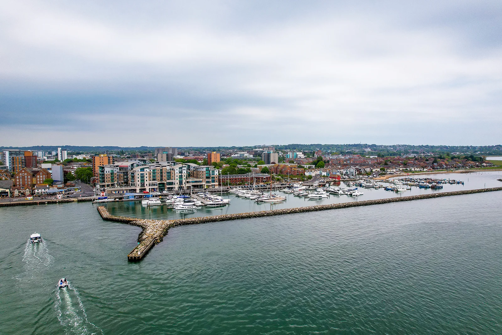
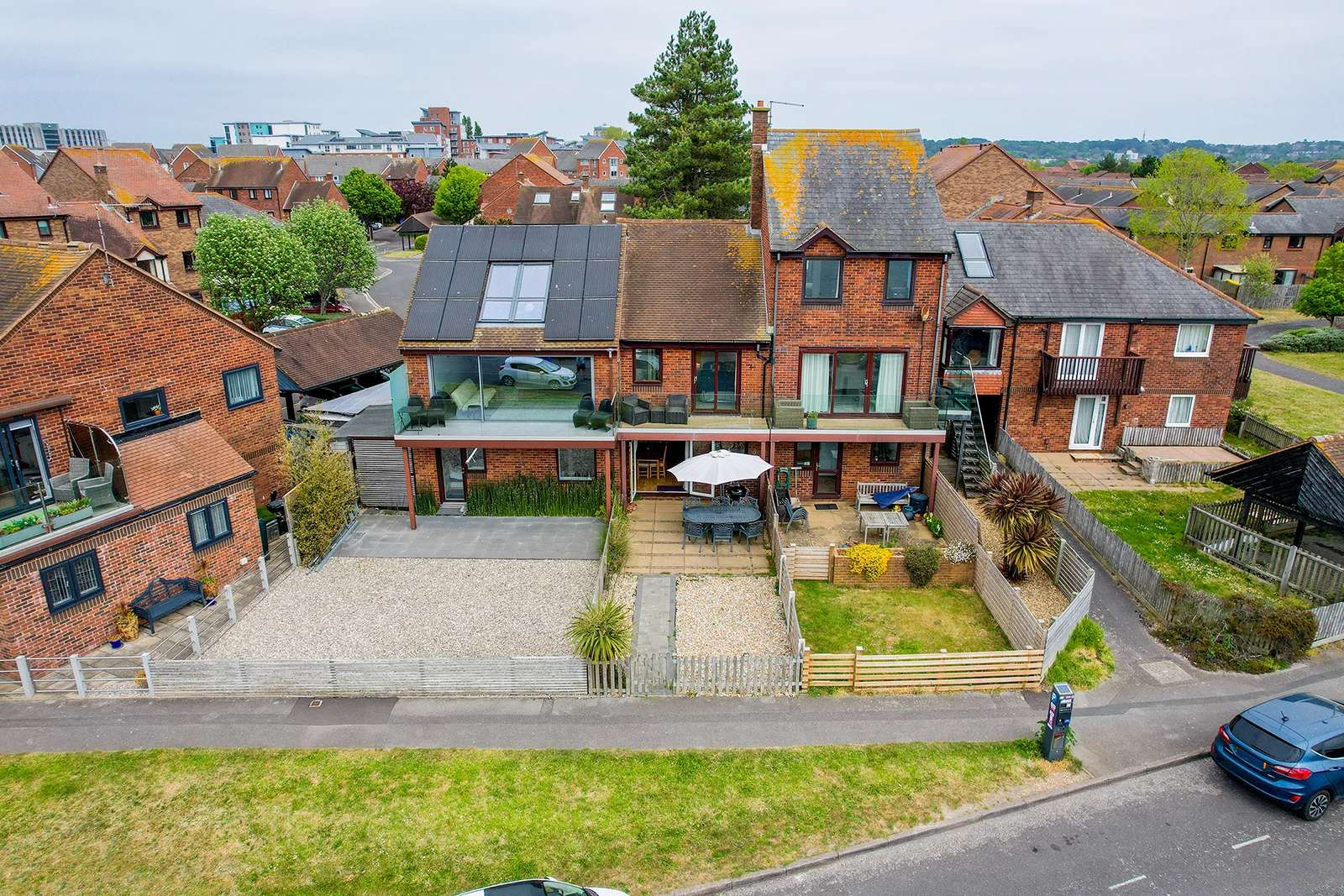
Aerial imagery can show the setting, scale, grounds, coastline, access and nearby features that are difficult to communicate from ground level.
Clear, considered coverage
Aerial frames are selected to show scale, access, grounds and context — details that are often impossible to communicate from street level.
Send the location, property type, intended platform and required outputs.
We confirm coverage, timing, price and any access or drone considerations.
The property is photographed in a logical sequence with attention to light, verticals and room flow.
Edited files are supplied digitally in formats appropriate for the agreed use.
Based on the South Coast and working across Southampton, Bournemouth, Poole, Hampshire and Dorset. Projects farther afield can be quoted where the scope justifies travel.
Common questions
Practical answers to the points that most often affect scope, preparation and delivery.
No. Weather, airspace, nearby people, surrounding buildings, launch space and site-specific restrictions can make a flight unsuitable or require a different plan.
Aerial photographs can show plot size, grounds, access, nearby coastline, surrounding landscape and the relationship between buildings more clearly than ground-level images alone.
Yes. Drone-only work can be quoted, although combining it with a wider property shoot is often more efficient when both are required.
Aerial work may need to be adjusted or rearranged if wind, rain, visibility or other conditions make the planned flight unsafe or unlikely to produce useful imagery.
Need something more specific? Read the full FAQs or send the project details.
Pricing depends on property size, access, required outputs, travel and turnaround. Send the basic details and we will provide a clear scope.
Send project details